Efficient solutions for noxious weed management
OVERVIEW
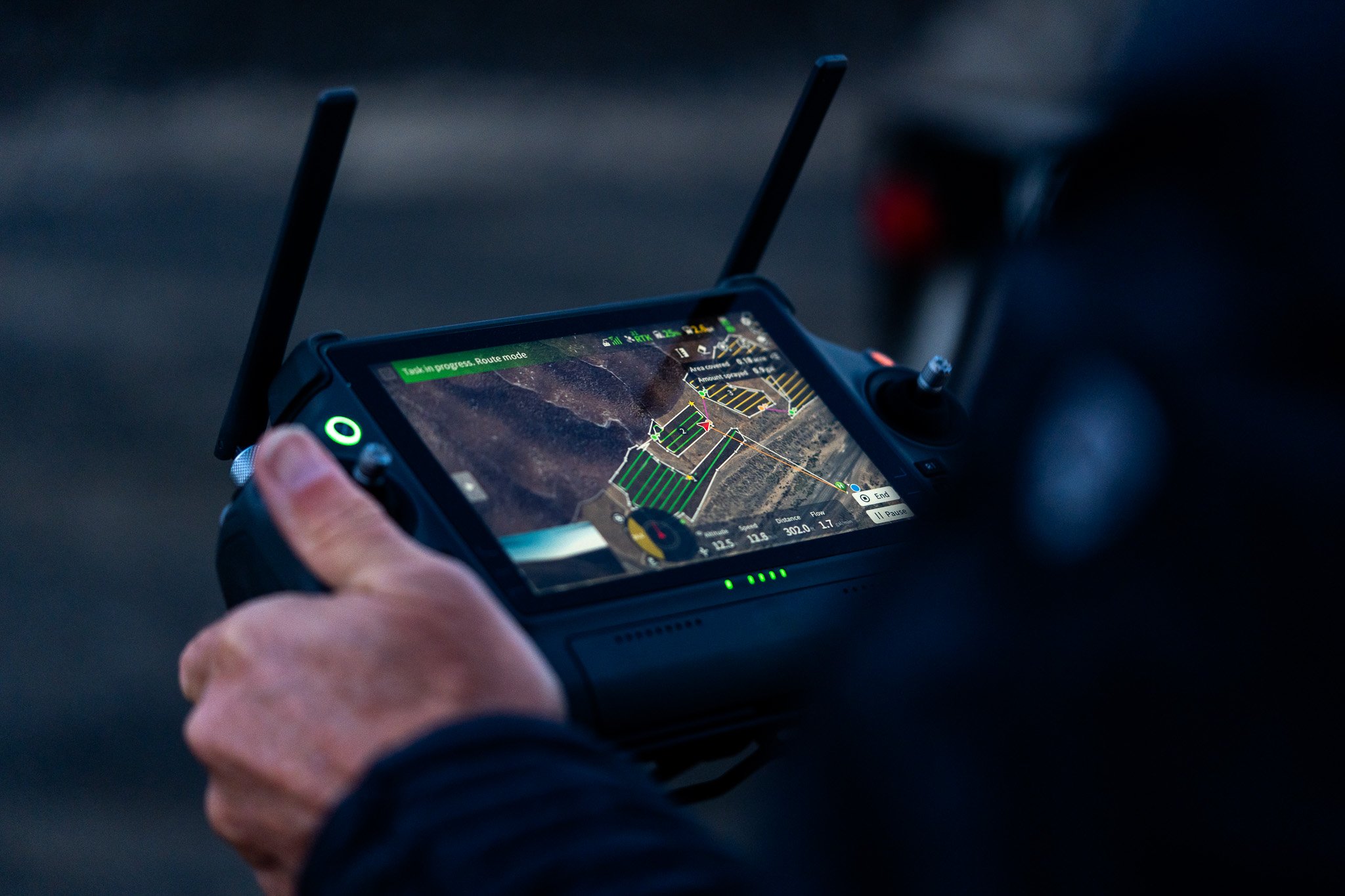
We bring the latest drone imaging software and artificial intelligence innovations to vegetation management. By using advanced technologies, we offer actionable data for better management, safe coverage of hazardous areas, enhanced efficiency, and reduced costs while increasing the effectiveness of surveys, treatments, and seeding.

AERIAL MAPPING & IDENTIFICATION
With higher precision and increased accessibility, aerial mapping can give you a consistent method of tracking progress on noxious weed management. It gives you the tools you need to access what you couldn’t before. No more handheld GPS devices or semi accurate waypoints on ArcGIS. Drones give you accuracy down to the centimeter of where all your noxious weeds are located.

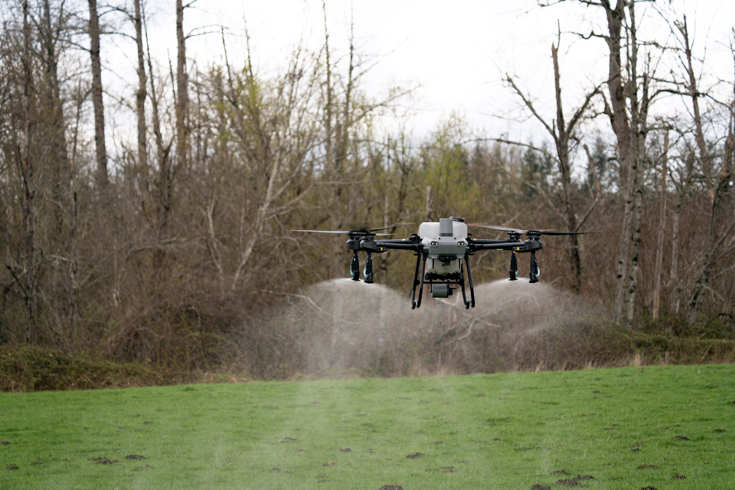
AERIAL HERBICIDE APPLICATION
Our application system can cover difficult terrain in less time, with higher consistency, using less herbicide, and we deliver all our data from our flights for your reporting.


