North Fork Skykomish River
In the Fall of 2024 we contracted with Adam from the Snohomish County Conservation and Natural Resources department to locate Knotweed along 10 miles of the North Fork Skykomish starting at Jack’s Pass Bridge. To accomplish this, we captured high-resolution aerial photos with a ground sampling distance (GSD) of 0.27 inches, created GeoTIFF maps of the river and its margins, and placed pins with sub centimeter GPS accuracy on every instance of Knotweed identified in the maps.
Our map showing the divided sections of the Skykomish River working from upstream then downward. We completed the survey of section 1 in the fall and plan to tackle the rest of the sections in the coming year(s).
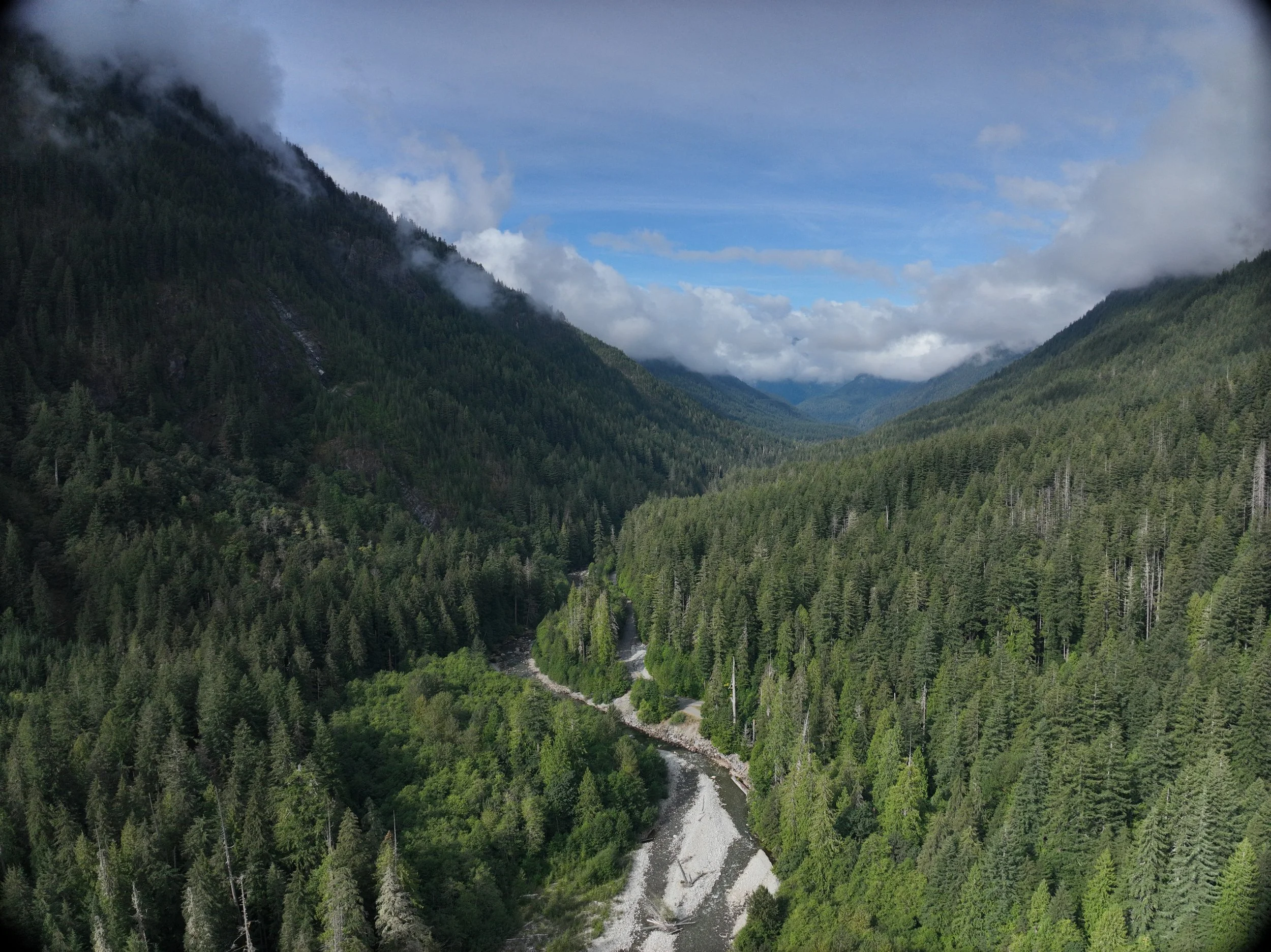
Looking up the valley we were surveying, scattered with steep terrain that is difficult to access on foot, and numerous obstacles created an exciting challenge for our team.
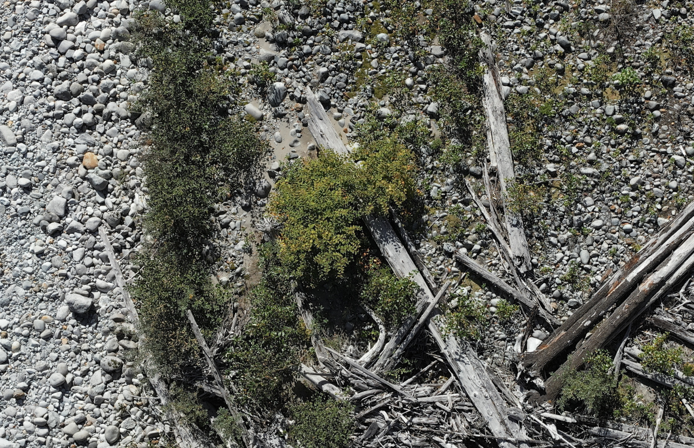
An example of one of the many knotweed groupings we identified off the Skykomish river in that upper quadrant.
In total, we identified 51 high-confidence Knotweed locations and 106 additional locations that we flagged for closer examination this spring after leaf-out.
This spring, we plan to conduct ground truthing on all 157 potential Knotweed instances we identified, providing Adam with a final list of verified locations. We are also developing plans to extend this work to the remaining 33 miles of the Skykomish River, down to its confluence with the Snoqualmie.
This proved to be a fun and challenging project that we’ve learned a lot from. Some of the most challenging parts were rethinking how to approach such steep and obstacle dense terrain. After a few iterations it seems we’ve found a solution we can build off of that has also been successful in helping us identify the knotweed on the north fork of the Skykomish river. With the help of our aerial system and mapping, we’ve covered twice the amount of the ground in almost half the amount of time it would have taken to do this by foot. Through this process we have also provided a replicable map with highly accurate points which Adam can use to look back on and measure the amount of progress that has been made over time.
We plan to do some treatment work in the fall and will update this page after its completion.


